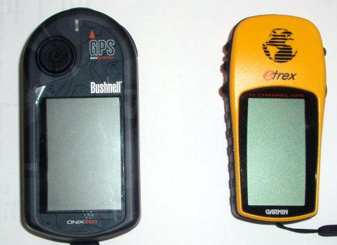
Garmin etrex and Bushnell Onix 200 Global Positioning Satellite system receivers
Laboratory 07 sought to explore the relationship between latitude, longitude, and linear metric system measurements. The laboratory also continued the exploration of uncertainty in measurements. During the course of the laboratory four different measuring tools were employed by the students. The laboratory also confirmed continuing student confusion in regards the concepts of latitude and longitude.
Garmin etrex and Bushnell Onix 200 Global Positioning Satellite system receivers
The students used two different GPS units, a surveyor's wheel, and a Google Earth ruler. The students started by walking a line of latitude from east to west.
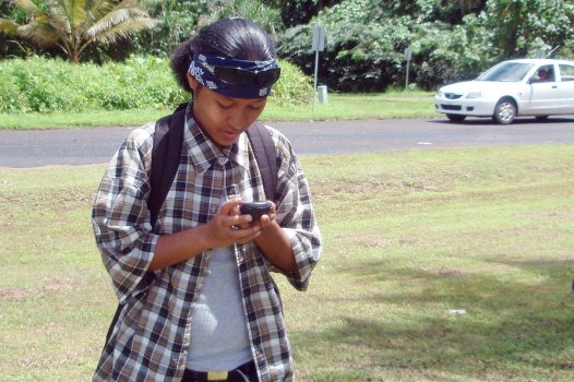
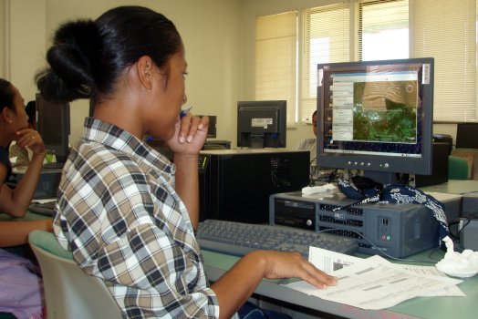
Carmen studies the GPS display
This laboratory would be a good opportunity for students to learn to use a GPS receiver, but the division has only two units. Increasing the number of receivers would be useful for future terms. This term the exercise was done with the lab section working as a single large laboratory group.
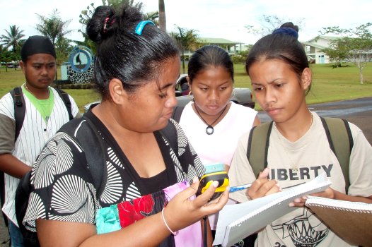
Maymorleen notes the starting latitude and longitude on Tracy's Garmin GPS
Due to the lay of the land at the campus, the students walked along a latitude line at 6° 54.576' North. The students started walking from the main intersection at 158° 09.707' East. The two students holding the GPS units were responsible for maintaining the due west heading. A third student rolled the surveyor's wheel. Working with one of the students holding a GPS, I learned that the students had not learned how about headings. The GPS was unable to simultaneously display the compass rose and the linear distance, but could display the heading and the linear distance. The student, however, had no exposure to headings and did not grasp that a heading of 270° is west.
![]()
Carmen heads due west while Kehlen follows with the surveyor's wheel
Trekking west to the near the junction of the cafeteria spur road, bookstore sidewalk, and the loop drive produced a distance of just over 300 meters. The westward trek ended at 158° 09.535' East on the Garmin unit. The three devices produced three different results. The Garmin etrex indicated 326 meters, the surveyor's wheel measured the distance at 323 meters, while the Bushnell unit came in at 294 meters. The change in longitude along with the linear measure allowed the students to make a calculation of the number of meters per minute of longitude here on Pohnpei.
![]()
Tracy holds a due west track while Blumina, a recorder, follows along
After walking a line of latitude, the students then walk a line of longitude. Starting from 6° 54.597' North and 158° 09.538 East, the students walked about 100 meters south towards the walkway between the administration and the cafeteria buildings ending at 6° 54.539'. Again the three instruments produced different results. The Garmin indicated 117 meters, the surveyor's wheel showed 108 meters, the Bushnell Onix displayed 103 meters.
After gathering the data, the class went to the A204 division of natural sciences and mathematics computer laboratory. Here the students learned to use Google Earth. First they entered the GPS coordinates for their starting locations. Many expressed surprise when they saw the planet earth spin and then focus in on Pohnpei, descending directly to the COM-FSM campus. Following this, the student's learned to use the ruler to reproduce their track.
Mina points out a campus feature to Teine
Google Earth 4.2 added the option to display latitude and longitude in deg mm.mmm format. Earlier versions did not include this option. As the GPS units were both set in this format, shifting Google Earth to this format removed a conversion to minutes and seconds.
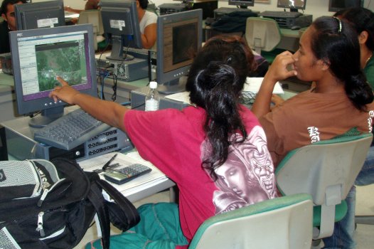
Carmen working with Google Earth
Google Earth also now runs on Linux. About half of the computers in the laboratory now have Google Earth.

Setting the ruler to display distance in meters [Click to enlarge the image]
Using the Google Earth ruler the walk along a line of latitude from the start to end latitude and longitude was displayed at 321 meters. This was better agreement with the surveyor's wheel (323 meters) than either of the GPS units. That the Google Earth ruler would be so accurate, especially for Pohnpei, was a surprise to me.
All laboratories have costs and this laboratory is one of the costlier and technologically intensive laboratories. The Bushnell Onix 200 and the computer laboratory computers are from off-island. The Google Earth component of the laboratory also requires a broad band Internet connection. The Garmin etrex and the surveyor's wheel, however, were purchased on island at Ace Hardware. The wheel was just over a hundred dollars, the Garmin etrex was a hundred and fifty dollars.
By the end of the day the Bushnell unit had completely depleted its rechargeable batteries. The Garmin etrex had only just started to deplete its battery. This confirmed earlier experience that suggested the Bushnell used a lot of power as compared to the Garmin etrex.
I had gone running with both GPS units, and already knew that the Garmin measured longer than the Bushnell. Having run for almost thirty years I know my pace fairly well. The Garmin agreed well with earlier work done with a Foretrex unit. My pace based on the Gamin unit is that which I also maintain both in on-island races and off-island runs. The Bushnell quotes shorter distances and hence slower paces that do not feel correct.
A preliminary analysis of the field data suggests the Bushnell does not distinguish between north-south and east-west runs. The Bushnell unit may be generating the same number of meters per minute whether moving east-west or north-south. The Bushnell Onix may be using a single conversion factor for minutes to meters regardless of the direction of motion. This conversion may also be optimized for North America. Whatever the cause, the Bushnell unit appears to be measure short.