 ][
][ ][
][ ]
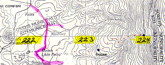
]Due to heavy rain for most of the field very few pictures were taken in the field. The hike began at 8:00 from the Palikir campus of the College of Micronesia-FSM at an altitude of 240 feet according to an aneroid altimeter. By 8:40 the class had reached the last house on the trail at 700 feet in altitude. The location of this house was determined by a GPS and noted on the map included at the bottom of this page. The GPS unit was borrowed to explore whether this technology could be usefully used in the Botany course. The altimeter was also borrowed. Both pieces of equipment are privately owned and may not be available to the class next year.
The class then continued up the mountain to an altitude of 1250 feet, reaching a location GPS indicated to be grid coordinate 224 on our topographic map. Time to this location for the lead group was 90 minutes. Departure at 9:45 occurred as heavy rain settled into the mountain greatly slowing the descent due to slippery terrain. As a result the descent lasted as long as the ascent (unlike last year). Next year the lab will have to be "floated" in the schedule and simply done on whatever sunny day hits the lab period. Departure from the top must be prescheduled for 9:45 to allow time to descend.
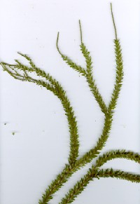
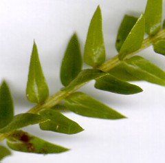
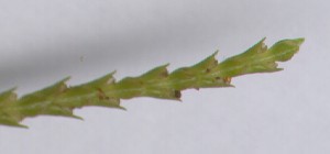
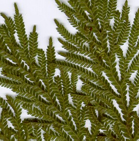
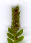
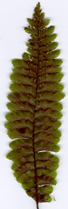
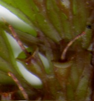
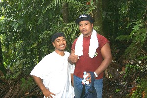
Below are images of some of the plants seen, some of the students, and the map of the journey. The Lycopodium is likely to be possibly either Lycopodium phyllanthum or L. squarrosum. The Selaginella might be Selaginella kanehirae. The fern is to be determined.
[][][]
[ ][
][ ]
]
[ ][
][ ]
]
[ ][
][ ][
][ ][
][ ]
]
[ ]
]
On the map the red dots represent the aproximate path of the hike. The house is marked by dark blue dot, the hike reached grid 224 marked by another dark blue dot. The selaginella, the fern, and the lycopodium all came from the immediate area of the 224 grid.