
Use of GIS in Disaster Risk Reduction Training Conducted
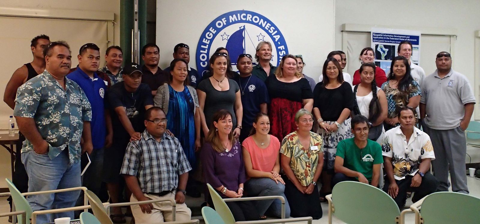 Palikir, Pohnpei - Workshops for a project entitled "Geospatial Information Development and Application to Support Effective Decision Making in the Federated States of Micronesia" were held at the National campus of COM-FSM on October 17 and 21-22. The workshops organizers were Pacific Disaster Center (PDC), Island Research & Education Initiative (iREi), and the College of Micronesia-FSM (COM-FSM).
The goal of the two-year project is to help institutions with disaster management and disaster risk reduction responsibilities in FSM access and use locally relevant geospatial information. Over the last year and a half, data from a variety of sources on themes ranging from critical facilities to population to land cover have been assembled, catalogued, and made available. Substantial new data resources have been developed, especially for the Outer Islands, where high resolution GIS (Geographic Information System) files have not been available previously.
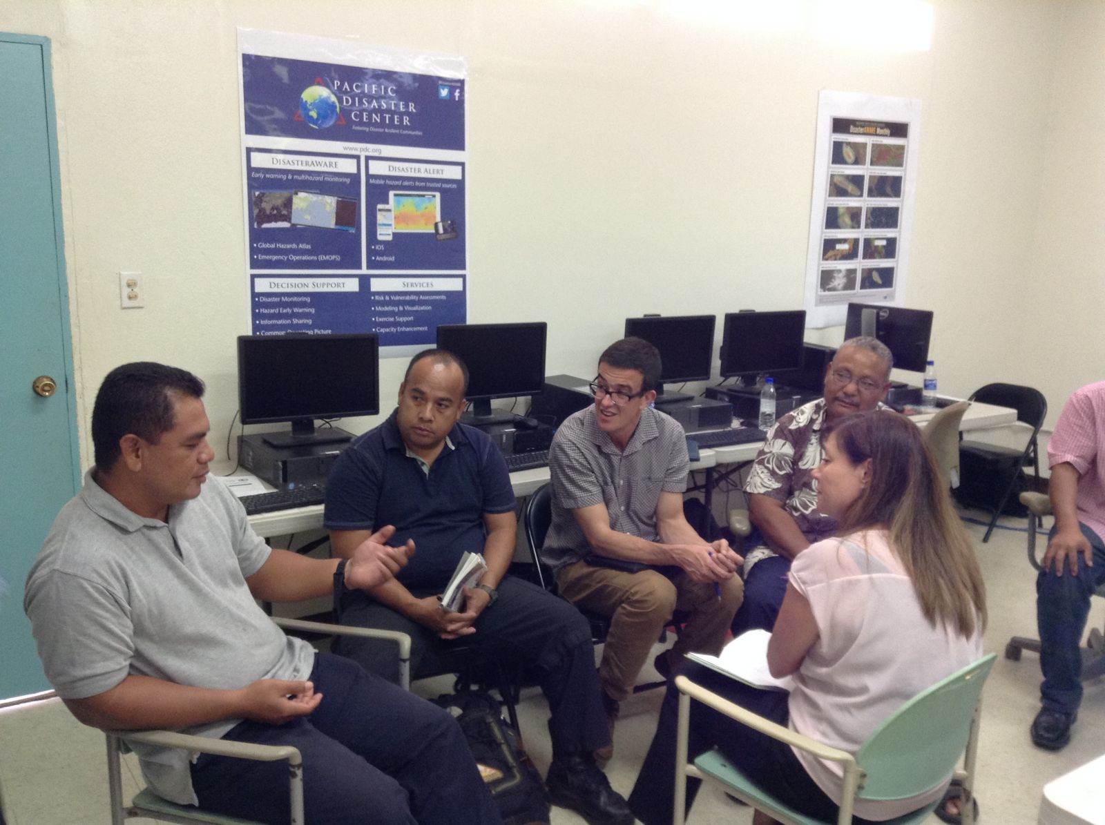 The first workshop (October 17) was to familiarize organizations that might be able to use geospatial information with some of the resources available, and demonstrate how some of these resources might be utilized. Participants included representatives from organizations and government authorities at local, state, national and regional levels.
The second workshop (October 21-22) was a more in-depth training aimed at GIS users and the local, state and national disaster management community. Participants used a web-accessible decision support system and GIS software to answer questions related to a typhoon scenario and relevant maps. All participants received a copy of the current database and open source GIS software. The final data set including all outer island data will be released in January 2015.
The project was jointly conducted by PDC, iREi, and COM-FSM, with funding from the NOAA Coastal Storms Program. In addition, the input of local partners from throughout the FSM has been invaluable. This effort will support stakeholders working to build a national GIS framework and will provide foundations for a range of derived geospatial products and applications.
